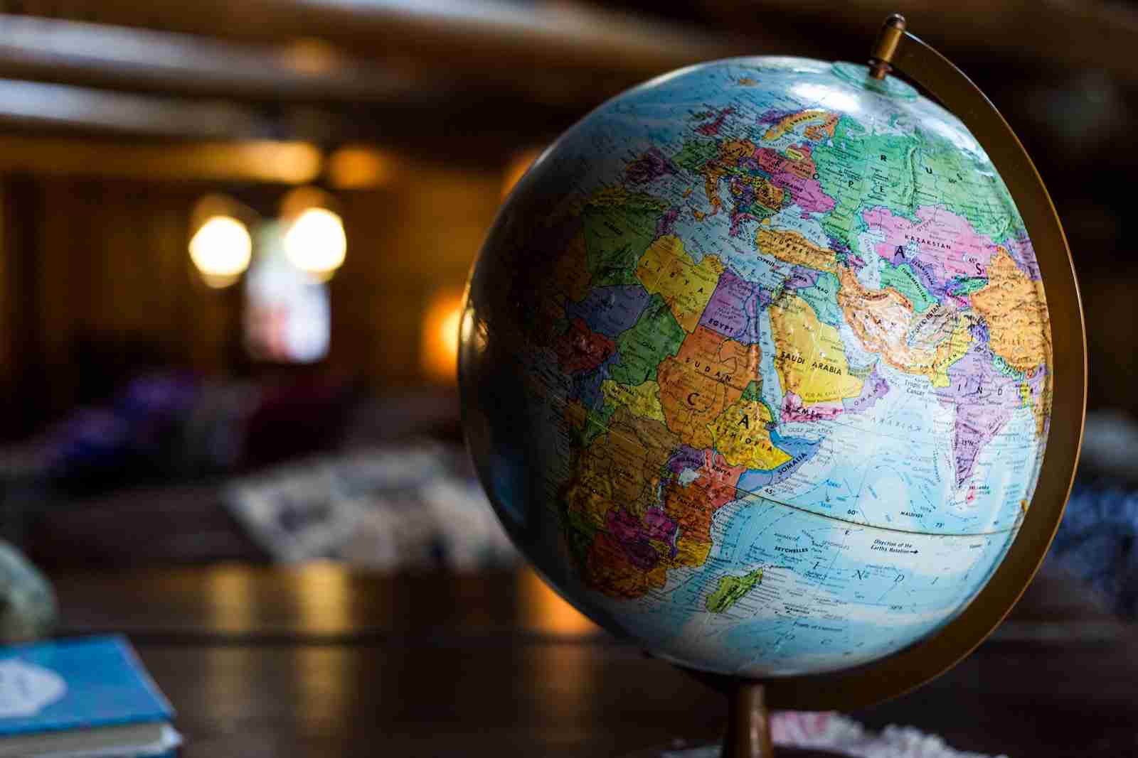
27 Fun Facts About Geography | Discover the World
1. Australia is wider than the moon.
Australia’s size is immense, measuring about 4,000 kilometers wide. This expanse surpasses the moon’s diameter, which is approximately 3,475 kilometers.
This fact highlights Australia’s vast landmass in comparison to a celestial body.
2. Alaska is the westernmost and easternmost state in the U.S.
Alaska uniquely stretches into the Eastern Hemisphere due to the Aleutian Islands.
Crossing the 180th meridian, it technically becomes the easternmost state. This geographical anomaly makes Alaska a cross-continental state.
3. Vatican City is the world’s smallest country.
Vatican City, an independent city-state, spans just over 44 hectares.
It’s entirely encircled by Rome, Italy, making it uniquely sovereign. Despite its size, it holds significant religious and cultural influence.
4. Russia spans 11 time zones.
Russia’s massive expanse covers a substantial portion of the Earth’s land area. Its vast territory results in it spanning 11 time zones, from Kaliningrad to Kamchatka.
This makes Russia the largest country by land area.
5. Africa is the only continent in all four hemispheres.
Africa’s vast landmass straddles the equator, extending into both the northern and southern hemispheres.
It also touches the prime meridian, placing it in both the eastern and western hemispheres. This unique positioning makes Africa globally central.
6. Canada has more lakes than the rest of the world combined.
Canada, known for its natural beauty, is home to over 2 million lakes. These account for about 9% of its total land area.
This abundance surpasses the combined total of lakes in all other countries.
7. Mount Everest grows about 4 mm every year, which is one of the fun facts about Geography.
Geologically active, Mount Everest, the world’s highest peak, is still growing. This growth is due to the tectonic activity in the Himalayas.
Everest adds approximately 4 mm to its height annually.
8. The Dead Sea is the lowest point on land.
Situated at over 430 meters below sea level, the Dead Sea is Earth’s lowest elevation on land. This salt lake borders Jordan to the east and Israel and Palestine to the west.
Its high salinity allows for effortless floating.
9. The Sahara Desert used to be a tropical rainforest.
The Sahara, currently the world’s largest hot desert, was once lush and verdant. Around 11,000 years ago, it transformed into a green landscape.
This change was due to a gradual shift in the Earth’s orbit.
10. Antarctica is the driest, windiest, highest, and coldest continent.
Antarctica, primarily known for its icy landscape, holds extreme records. It’s the driest continent, receiving only 200 mm of precipitation per year on average.
It’s also the windiest, with winds reaching up to 320 km/h.
11. The Amazon River once flowed in the opposite direction.
Millions of years ago, geological forces caused the Amazon River to reverse its flow direction. This change was due to the uplift of the Andes Mountains and the subsidence of the Brazilian Shield.
Today, it flows eastward, discharging into the Atlantic Ocean.
12. The Nile River is the world’s longest.
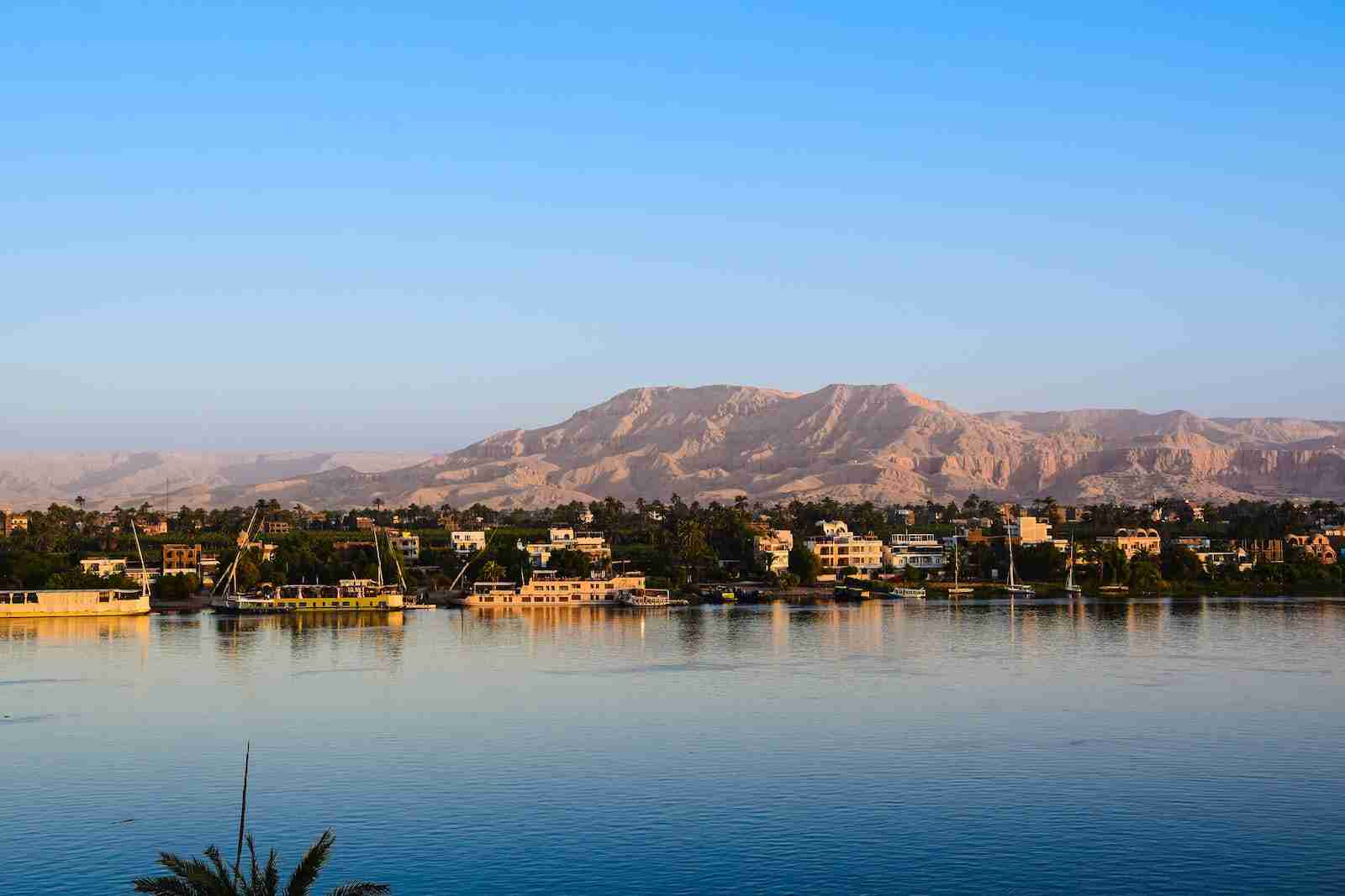
The Nile River, renowned for its historical significance, stretches over 6,650 kilometers. It flows through eleven countries before emptying into the Mediterranean Sea.
This river has been vital for civilization in Egypt and Sudan.
13. Earth’s longest mountain range is underwater.
The Mid-Ocean Ridge is a submerged mountain range, spanning about 65,000 kilometers. It’s found at the divergent tectonic plate boundaries in the ocean.
This makes it the longest mountain range on Earth.
14. Lake Baikal in Russia is the world’s deepest lake.
Lake Baikal, located in Siberia, Russia, is the world’s deepest and oldest freshwater lake. It reaches depths of over 1,642 meters and is estimated to be 25 million years old.
The lake contains about 20% of the world’s unfrozen freshwater reserve.
15. Indonesia is made up of over 17,000 islands.
Indonesia, an archipelagic country, comprises thousands of volcanic islands. It’s known for its diverse ecosystems, including rainforests and beaches.
These islands stretch along the equator for more than 5,000 kilometers.
16. The Great Wall of China isn’t visible from space.
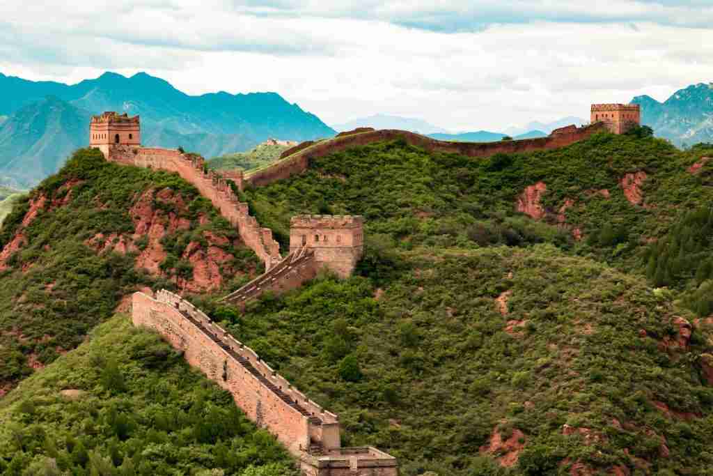
Contrary to popular belief, the Great Wall of China is not visible from space with the naked eye. This myth has been debunked by astronauts.
The wall, stretching over 21,000 kilometers, was built over centuries for protection.
17. There are no rivers in Saudi Arabia.
Saudi Arabia, a desert country, lacks permanent rivers or lakes. Its landscape is dominated by the Arabian Desert and sparse water bodies.
Instead, it relies on underground aquifers and desalination plants for water.
18. Bangladesh has more rivers than any other country.
Bangladesh, a country crisscrossed by rivers, has more than 700 in total. These rivers play a crucial role in the country’s agriculture and transport.
The Ganges, Brahmaputra, and Meghna river systems shape its fertile plains.
19. Monaco is smaller than Central Park in New York City.
Monaco, famed for its luxury and gambling, is smaller than New York City’s Central Park. The park, covering 843 acres, surpasses Monaco’s 202 hectares.
This makes Monaco one of the world’s smallest sovereign states.
20. Madagascar is the world’s fourth largest island.
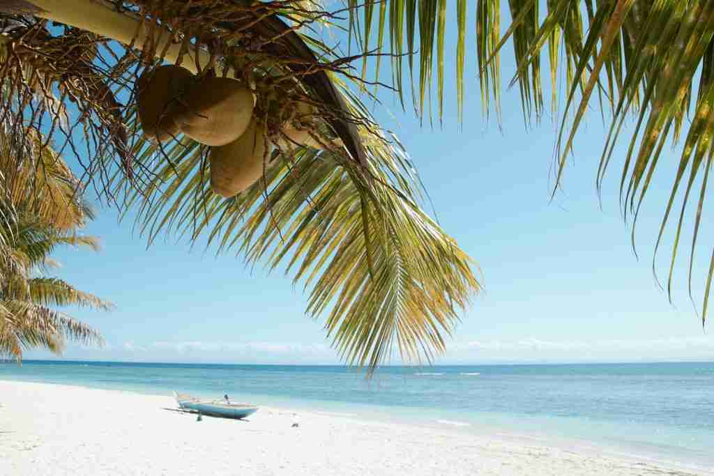
Madagascar, located off the southeastern coast of Africa, is unique for its biodiversity. It’s the fourth largest island globally, covering over 587,000 square kilometers.
The island is home to thousands of species found nowhere else on Earth.
21. The Mariana Trench is deeper than Mount Everest and is tall.
The Mariana Trench, located in the Western Pacific Ocean, is the deepest oceanic trench. Its deepest point, known as Challenger Deep, reaches about 10,984 meters.
This depth exceeds the height of Mount Everest, the highest mountain peak.
22. The Philippines consists of 7,641 islands.
The Philippines, an archipelago in Southeast Asia, consists of 7,641 islands. These islands are categorized broadly under three main geographical divisions: Luzon, Visayas, and Mindanao.
The country is known for its diverse culture and rich biodiversity.
23. Brazil covers 47% of South America.
Brazil, the largest country in South America, covers about 47% of the continent. It’s known for the Amazon Rainforest and the vibrant culture of cities like Rio de Janeiro.
This vast area gives Brazil a diverse environment and ecosystems.
24. Lake Superior is the size of South Carolina.
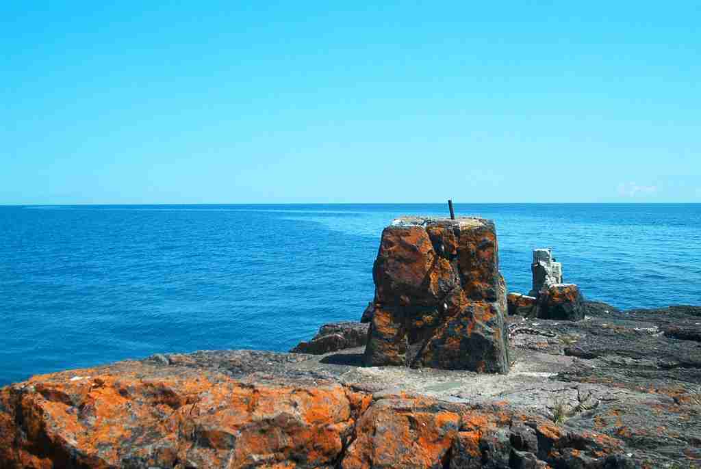
Lake Superior, the largest of the Great Lakes, covers about 82,100 square kilometers. Its size is comparable to the entire area of South Carolina.
Superior is known for its cold, clear waters and rugged coastline.
25. Norway has a 15-minute road tunnel.
Norway features the Laerdal Tunnel, the world’s longest road tunnel, stretching 24.5 kilometers. It connects Laerdal and Aurland in Norway, passing through a mountain.
The tunnel was designed for safety and comfort, with special lighting and architecture.
26. Can you provide an overview of Indian geography?
Indian geography encompasses diverse landscapes, including mountains, plains, and coastlines. It is rich in biodiversity and features iconic landmarks such as the Himalayas and the Ganges River.
27. Lesotho, Vatican City, and San Marino are countries within countries.
Lesotho, Vatican City, and San Marino are unique as they are surrounded by other countries. Lesotho is encircled by South Africa, while Vatican City and San Marino are enclaved within Italy.
These are known as enclave countries.
FAQs
Yes, geography tests are common in educational settings. They assess knowledge of geographical concepts, countries, continents, and physical features.
Engaging in geography games, exploring maps, and reading geography books are effective ways to enhance knowledge. Educational resources and online platforms offer interactive tools for learning.
Yes, geography games are available online and in various formats. They can be interactive and entertaining, providing a fun way to test and improve geography knowledge.
Geographic maps visually represent the Earth’s surface, depicting countries, continents, and physical features. They are essential tools for understanding spatial relationships and navigation.
Geographic maps contribute to knowledge by providing a visual representation of the Earth’s features. They aid in understanding spatial relationships, exploring topography, and learning about different regions of the world.

